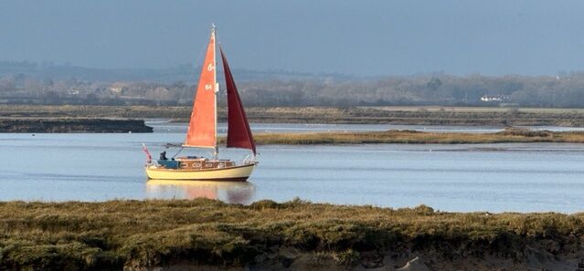
So, I thought, it’s about time the satnav carried aboard Whimbrel was updated while I had the time.
The unit, a Garmin GPS Map 557, was purchased back in 2014 and it has served alongside the traditional charts carried aboard, kept updated annually (Which reminds me!) for I have never relied upon the electronic unit alone.
Last season, I finally decided that the update was necessary for there had been a number of changes which were of importance, even though I use it for cockpit observation on the whole.
I had the unit updated a few years back now some while after some major buoy position changes made in the Swin Channel, including a movement of the Maplin Sands firing range boundary eastwards. That was a waste of money!
Last summer, sailing with my youngest brother, we strayed over the line. We were steering for a green ‘dot’ away beyond the bow. A fast launch was seen astern. It was clear that it was curving our way.
The vessel morphed into the Firing Range Patrol!
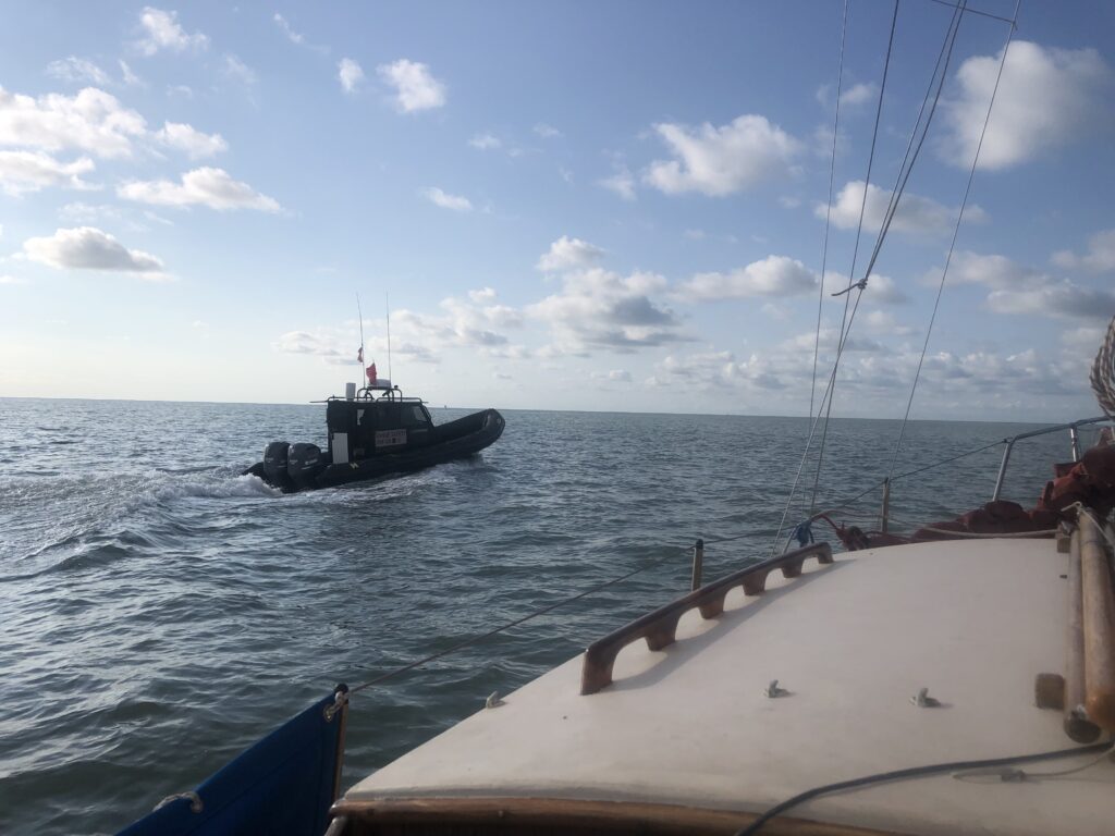
‘Are you aware yo are fifty metres inside the range…’ a call floated across the gap.
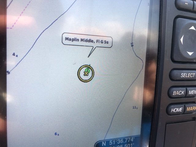
‘Well yes..’ I said, adding, ‘I am on course for the Maplin Middle…’
‘You know you need to keep outside the Maplin Bell…’ the caller said.
My crew and I looked at one another. ‘Been sailing this passage for over forty years,’ I called, grinning, and adding, ‘so, yes!’
I got a wave … then the launch careered away…
While laid up nursing my new knee I have settled to dealing with all sorts. One being this update.

Easy, one would think. NO!
I trawled around and kept finding that the unit had been discontinued and was no longer supported. Garmin searches kept directing me to the ‘American’ web site.
I remembered I had a Garmin log on, and surprisingly I got on after many years of non use. Again, I saw the ‘557’ was no longer available.
All very strange as units were clearly still on sale!
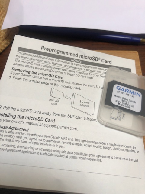
I eventually alighted on a company based in Peterborough, Active GPS, which seemed to have what was required.
See: https://www.activegps.co.uk/garmin-bluechart-g3-uk-ireland-map-update-card.htm
An email discussion with James at customer services confirmed that the 2022 (current) update was available and he gave me details of Garmin UK based in Southampton, to check on the quality level of the update.
Email: marinesupport.europe@garmin.com
An email produced a telephone number and a very nice chap, Rob, confirmed that all chart corrections up to when sd cards were updated in 2022 were included. With that came a navionics link to the charts loaded onto the new card.
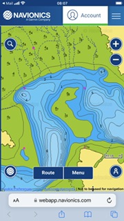
I straight away noticed the clear loss of a ‘bay’ along the north mud edge.
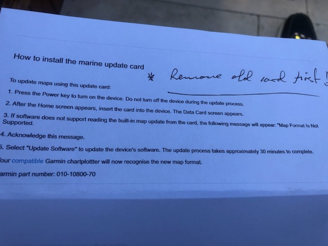
I ordered a new card from the very helpful Peterborough firm. Within a couple of days it duly arrived.
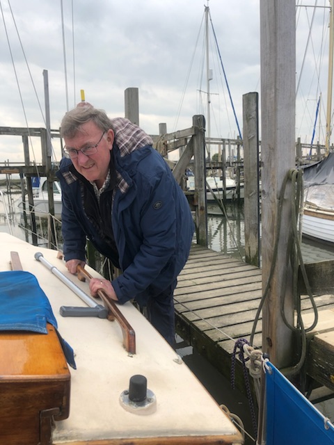
This last Saturday was a fine day with an early afternoon tide allowing me to comfortably board Whimbrel with my good mate in attendance.
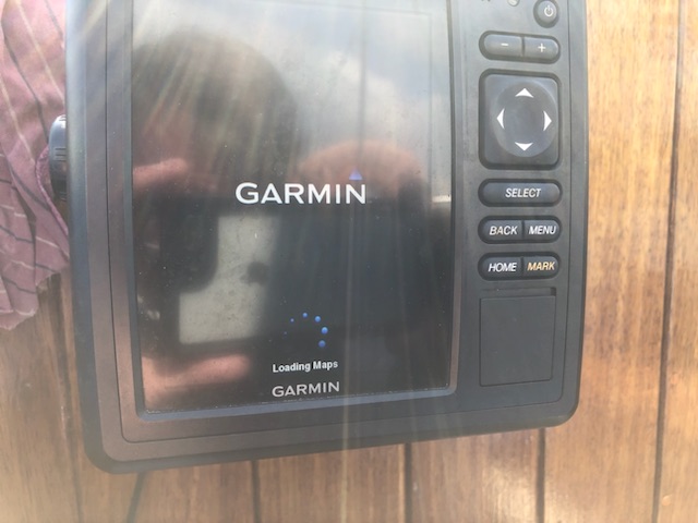
The update instructions are short and sweet. The sheet stated it would take up to thirty minutes … in actuality, it was all done in less than ten.
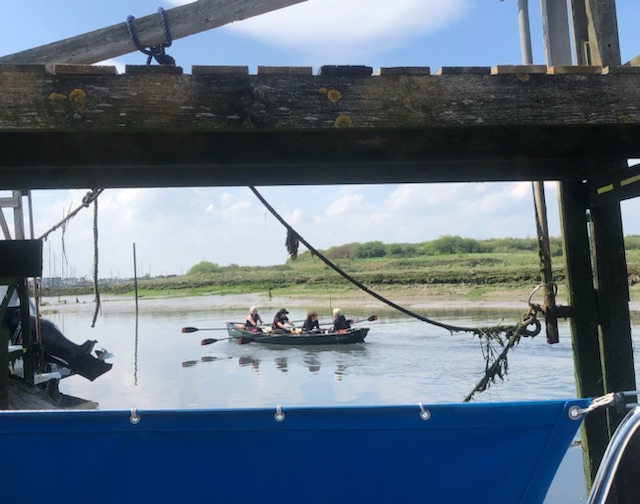
While the machine whirred internally, I was able to sit back and enjoy the ambiance of being afloat on the dear old girl…
Three separate four-oared skiffs rowed past, bound, I assume for the Island YC, something I know they do from time to time. There are three rowing clubs in the Lower Thames. I didn’t see which.
I was handed a mug of coffee and sandwiches as the GPS screen went to start up – all done.
A few clicks, while sipping and munching and I was checking the Swin Channel…
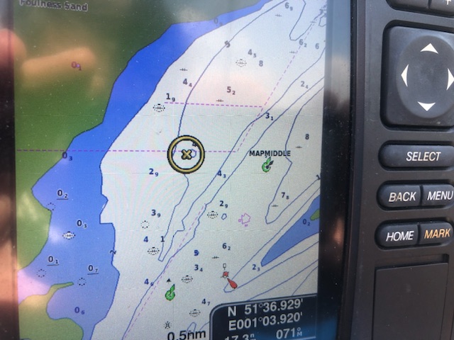
A bouy marked up years ago was bang on the current charted position. I deleted the ‘mark’ for it is no longer relevant. There are others to delete as time progresses.
I then went to an area where I knew there had been a pretty drastic change to the position of the low tide mud edge over the past decade – Sharfleet Creek, which is off Stangate Creek on the River Medway system.
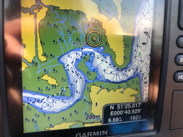
Last summer, after a ‘brush’ with the mud in Sharfleet, I marked the edge while enjoying a coffee and waiting for the tide to lift us…
It is clearly as good as bang on!
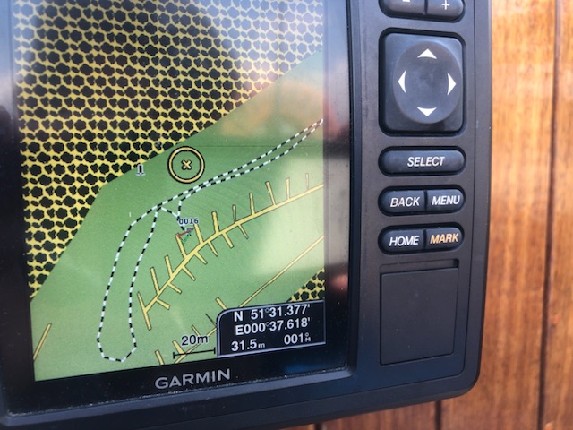
Lastly, upon returning to current position, the Garmin actually showed me to be sitting in the correct mooring (ignoring orientation!)
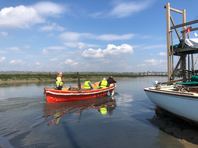
One of my club’s work boats on the way to a task on the fine afternoon.
So, now all there is to do is get out there and use the darn thing. When? Well, I’m looking to get afloat for a sail at six weeks post op, on a quiet day…
My sincere thanks to James at Active GPS in Peterborough and to Rob at Garmin UK in Southampton.
It was just so great to get such positive helpful advice. Priceless. Bless you both.