Many years ago during a passage up the Thames I detoured into Dartford Creek but only as far as the barrier. At the time I hadn’t any information as to what lay beyond (The Mate was surprised at the time when we turned about and sailed away…), but I’ve long harboured a wish to go further!
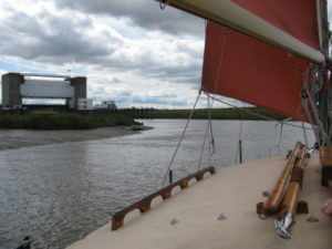
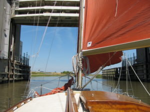
Sailing in on my earlier ‘visit’ in 2011…
For several years now a fledgling trust concerned with the tidal sections of the Darent and Cray (Dartford and Crayford creeks) has been operating through a facebook site.
See: https://www.facebook.com/groups/1493013297641232/
This has primarily been aimed at rejuvenating the locks below Dartford and bringing boating back to the town, something planners have foresaken. Although this interests me, historically and for its good, my interest lay with the other creek up to Crayford: this could be visited by masted yachts whilst Dartford cannot due to a low bridge traversing the creek just avove the juncture of the two creeks.
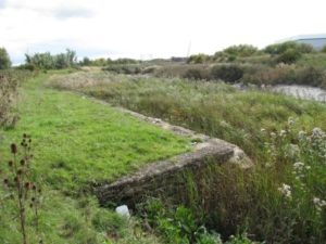
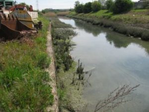
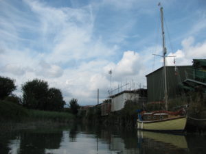
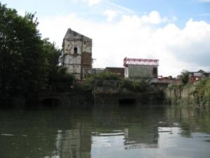
Disused barge wharf just above the Bob Dunn Way road bridge – a little way upstream near distant warehouse is a filled in drydock where concrete sections were built for the building of the WW2 Mulberry Harbour.
Crayford has fine wharves which lay dormant. With vision and access (via a boatyard perhaps) it could be useful for local boating and visitors. The drawback is the barrier. When built it was given a limited air draft of around 12.5m at MHWS. My air draft gives me a mathematical 2m breathing space…
The tidal headwaters have a fascinating industrial history going back several centuries, however, as time passed by and coastal shipping increased in size the practicality of the ports lessened. Industries included, bricks, milling, manufacturing, timber, explosives, ‘chemicals’ and barge building to name but just a few.
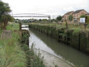
Dartford Lock.
Up in Dartford the lock was abandined and left open. There are plans to have it brought back into use but tides flow arcoss the top at times their top height being lower than the ‘shut point’ for the barrier. These would need to be raised sufficiently, presumeably. The road bridge is the biggest bugbear: the height is limited indeed.
Boats are going up though and berthing above the lock. Currently this on a cleared patch of bank where silting up has left a flattish reed covered edge. For sensible use this would need to be dredged – this costs money…
‘Our’ wharf…
On a road visit to the place I intended to take Whimbrel and her Mate, we spied out the terrain and spoke to several operators on the wharf tops. Dugdale, a hard core ‘milling’ operator who has his business atop the lowest wharf said, ‘Yes, come up whenever you like … just let us know…’ The manager calls me, Nick the sailor…
Since our road visit a couple of craft have been up to Crayford and stayed. One a yacht at a wharf fron just below a railway viaduct – ‘It was somewhat noisy…’ the chap told me. Another, a inland waterways narrow boat went into a disused mill basin above the rail line. This is all treed to one side as the fresh water Kentish stream trickles by. The other has useful wharf fronts with no ‘public’ access.
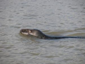
Anyway, there we were just a week or so ago, at Erith. We’d tacked down against a fresh easterly the previous day after an enjoyable week esconced within Limehaous Basin. Departing with the tide on the flood we sailed gently down to the creek#’s entrance. Outside seals basked upon the mud banks and a male (we thought) swam up and down patrolling the edges. It kept coming up along our side, looking and ‘blowing’ at us…
I’m watching you…
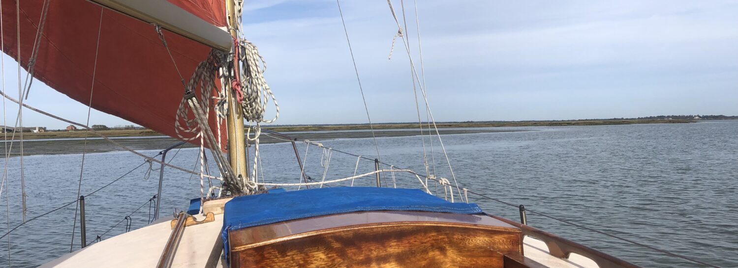
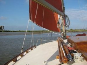
We went in with the tide at 4.3m – Tilbury at 0900 – under main and jib. Once within the creek, I dropped the main to ensure some proportion of astern control if needed at barrier (Even though I’d done thre maths!). It was a sureal experience as we crept past the barrier into a different world – truly ‘betwixt land and sea’ taking a cue from a story in Salt Marsh & Mud, one of my earlier books.
Entering…
& under…
And so into Crayford Creek…
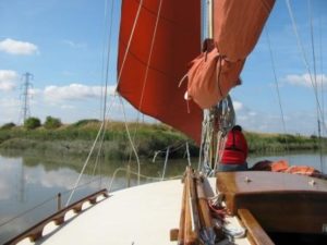
We were in a world of land birds mixed with more usual critters. Duck and diving grebe abounded. Overhead, skylarks warbled. The world was a-twitter with sweet song. There were some fast flashes across the creek top too… Soon we turned into Crayford Creek – I had a map taken from the PLA map of the creek with a ‘path’ drawn in from looking at google, but the ‘blue’ line on our GPS map we have proved to be extremely accurate. Deviate and it shallowed!
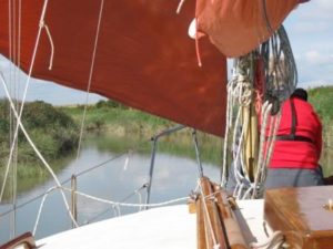
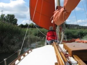
The reeds closed in around us…
The Mate maintained a ‘watch’ forward… The Stanham River trickles in to the portside, here there was once a barge yard.
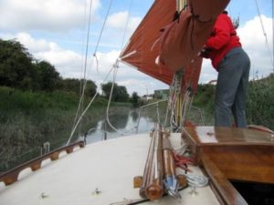
Passing the entrance to the Stanham River I went to starboard into the last reach up to Dugdale’s Wharf, once the domain of Rutters, brick makers, barge owners and builders. Ahead I could soon see ‘our’ wharf with the paraphenalia of concrete crushing on its top – it was bank holiday Monday, so all would be quiet! Sail was finally disposed of as the land influences mad sailing impossible…
‘Okay’ I called, ‘dump the jib…’
The stream had all but started to run against us. We found the same when toddling up to Alresford Mill off the River Colne a couple of seasons ago. The tide had an hour and half to run (lift) too… Passing the waharf, well it is a long run on past the rail viaduct, we nosed into the reeds and turned round.
Soon after berthing in total quietness: all was stood down for the holiday, I was away in the dinghy to search out the tidal head waters
Whimbrel safely moored.
Crayford’s last mill house being dismantled… Beneath it sit the old tidal sluices.
During the early evening one of the ‘trusts’ key members popped by, on the opposite bank, to say hello. This chap has for a number of years been driving the Northfleet Harbour Trust where MDL have been carrying out an appraisal for Kent County Council on the reopening of the old harbour as a marina, an interesting proposition indeed…
See: https://www.facebook.com/search/top/?q=northfleet%20harbour%20restoration%20trust
and, http://www.northfleetharbour.org.uk/
Later, sitting in the cocpit, a brightly coloured flash shot across the water’s surface and seemed to career into a distant wharf crevice. Surely a kingfisher…
The next morning, as soon as the boat had floated and after saying farewell to our host, now back at work, but surprisingly quiet we thought, we departed, under sail with the engine ticking over.
Through the barrier under full sail…
Departing the creek.
Some hours later after a beat down river (apart from round past Tilbury) we sailed serenely up the Ray to moor on the Island yacht club’s waiting buoy where we spent a pleasant night to punctuate our summer sailing…
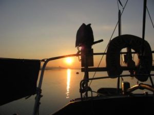
Sunrise on our last morning. This picture is the essence of our sailing summer – one of the best we can remember, and boy, we’ve had so many during this past decade…
