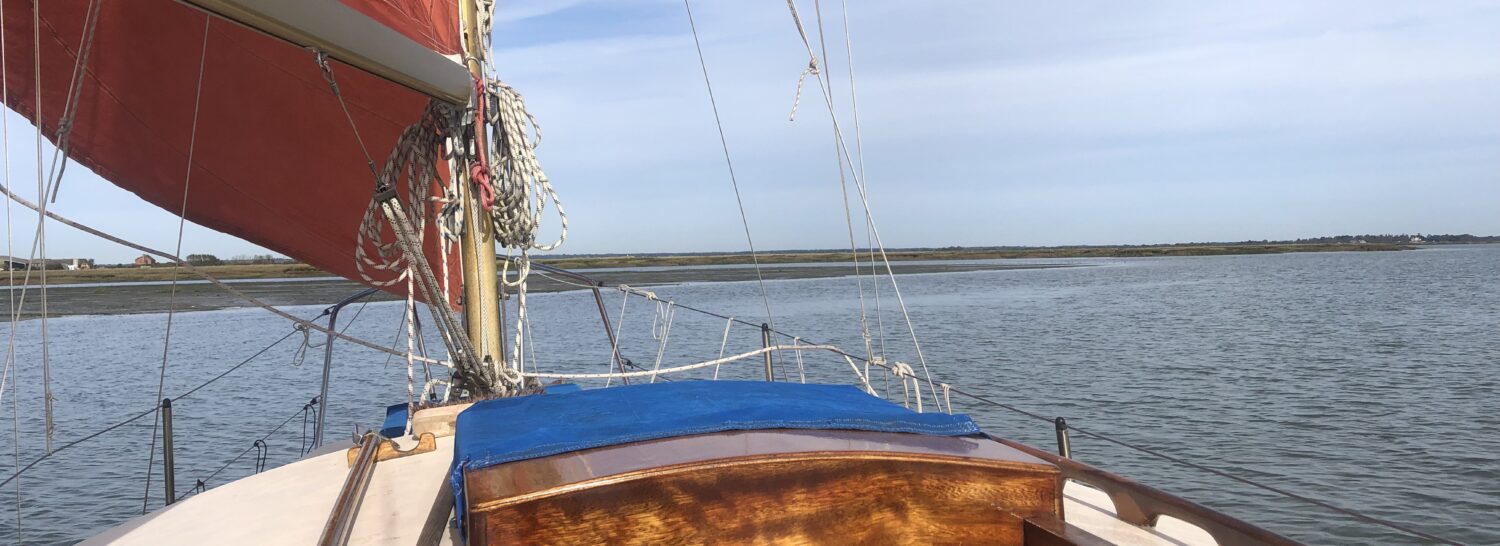
We were bound up the River Medway from Queenborough to Upnor. It was a calm start with just enough puff to fill main and Genoa. We crept slowly away from our buoy, gradually slanting across tide towards the shallows.
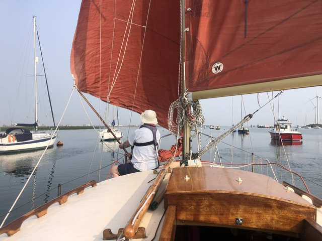
Soon after beginning to reach up Saltpan, a rapid increase in the wind strength persuaded me to change headsails: short tacking was going to be the order, with my proposed plan.
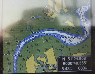
Entering Stangate Creek, a couple of tacks were needed to reach Sharfleet Creek. On the way I gazed upon two abandoned GRP boats languishing along the east bank of Tailness. One was abandoned after a grounding then sinking after firing off the saltings edge, the other is clearly a ‘break away’.
My belief is that these craft should be removed by the harbour authority before they become a hazard or begin to break up: the GRP content in sea water is something scientists are currently worried about across the world (see my post on the USA solution..).
Entering Sharfleet we got round in the natural tacks allowed by the wind.
We have not been into Sharfleet for two years and I was flabbergasted by the break up of the tounge of saltings running out south that was once part of Burntwick Island. Marsh loss has been huge judging by the remains island’s size – there were many visible tidal cuts into the soft clay.
A cruiser motored through the tide scoured channel that appeared a decade or so ago: perhaps it could become the main run of Sharfleet in time as what is left is rapidly being eaten away!
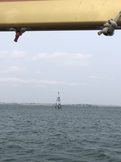
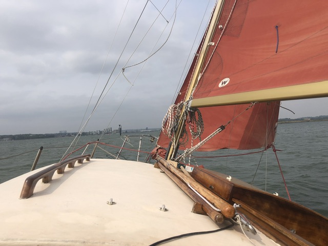
The various ‘Medway’ beacons are a throw-back to the river’s naval days. Some have remained useful to us hiatuses!
We tacked round the banana curve of the invisible western end of Sharfleet west of Slayhills Marsh using echo sounder and satnav before crossing the ‘Upchurch Saltings’ (mudflats now) into Half Acre Creek.
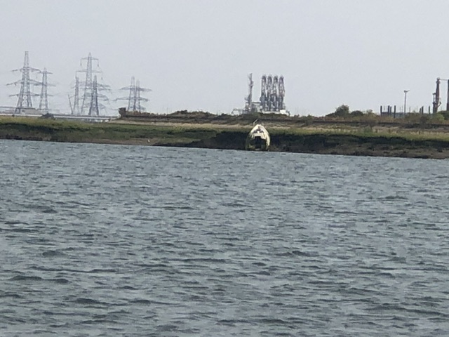
Upon Slayhills Marsh, a large vessel has been washed up. I know nothing about it, but will endeavour to find out! She sits at an angle of early forty-five degrees and is so far in she is very likely to be in her final berth.
Note the wreck in distance of Motney Hill – an old dry dock caisson.
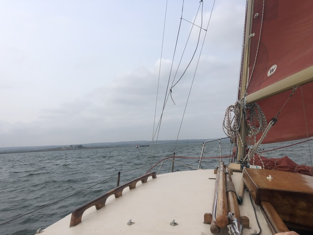
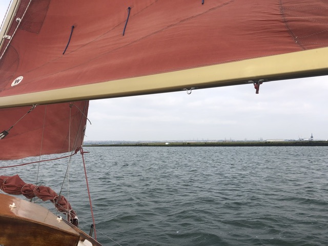
The breeze was too strong to allow any saline scented wafts from the sea drenched saltings to reach us and boat speed was varying between 3.5 to 5 knots. My memory placed those senses for me though…
Way out in the main river, several largish yachts were motoring upstream (Why?) with the tide. One of these was astern of us as we later swept into the juncture of Pinup and Gillingham reaches!
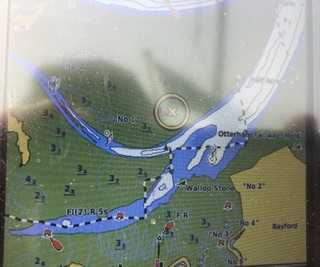
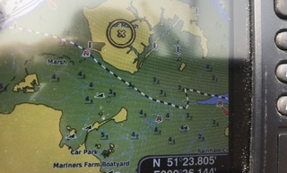
It was a rapid beat southward to the Otterham Creek buoy which also marks the juncture with Bartley Creek and the South Yantlet. Our course was along the former towards Horrid Hill, on an isthmus running north out of the shore – all now a designated country park.
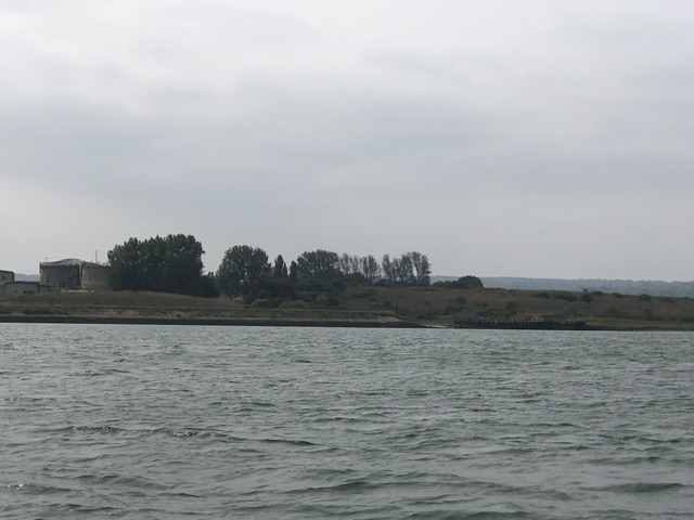
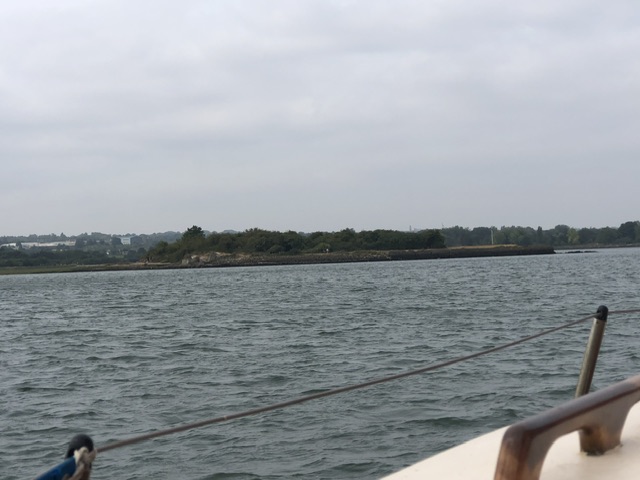
Passing Motney Hill first, I looked into the old dock on the end of this tail of land to the west of Otterham Creek. It’s an old brick and cement dock, still in a remarkably good condition. Motney is home to a huge sewage treatment works and it’s ping wafted over us!
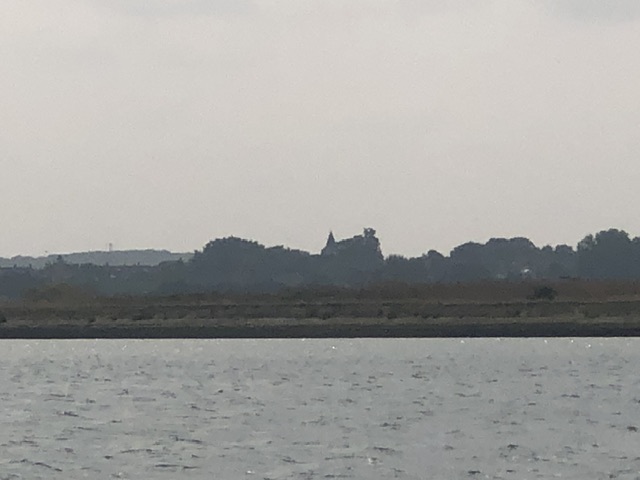
As we reached up Bartlett, I gazed back at the spire of Upchurch Church, where my mother designed a millennium window. The building’s body was shrouded by trees.
Over to the north of us we were passing by the tide soaked saltings of Nor Marsh Island which once boasted a farmstead and hundreds of sheep. More GRP craft could be seen washed ashore…
A short tack was needed into Rainham Creek which runs to a boatyard at Marina’s Farm, a place used for winter layup locally. Horrid Hill was passed with its strategically placed ‘lovers’ benches shielded from each other by natural scrub.
Horrid Hill for many years was home to a cement making complex, it’s old wharves and building debris remain.
The scrub wilderness seems to suit Horrid Hill – a horrid name, for sure for it is a habitat for bird life etc.
Our inside route passage rapidly came to an end as we shot past a red buoy marking the channel across an old causeway, across the mud flats bordering the south side of Pinup Reach.
And, we left the beacon close to port for a clear reach past Hoo Ness at the western end of Hoo Island. We caught up with and overtook one of the ‘dawdling’ yachts motoring home. Another remained astern of us, not pass until we’d picked up a buoy under Upnor Castle.
Wind over tide choppiness was avoided and, yes, it was fun for sure.
It is not likely that I’ll have the opportunity to do it again for a while, or, as I wryly said to the mate, ‘if ever…’
P.S. this passage has been written about in various of my books – ‘Salt Marsh & Mud…’ is one.