On a visit to Petworth House in West Sussex I viewed a painting by Turner depicting the ‘Confluence of the Thames and Medway‘ first exhibited in 1808.
Being a ‘celeb’ of his day Turner was oft sought after and he stayed at the house as a family guest on numerous occasions. There are a number of Turner paintings displayed in the house.
The house was the home of the Dukes of Somerset for generations until it passed to the National Trust in, I believe, 1947. The family remain the owners of various works and pieces of furniture. The Tate owns the Turner paintings, on the whole. The Government owns various pieces as does the National Trust, including the house…
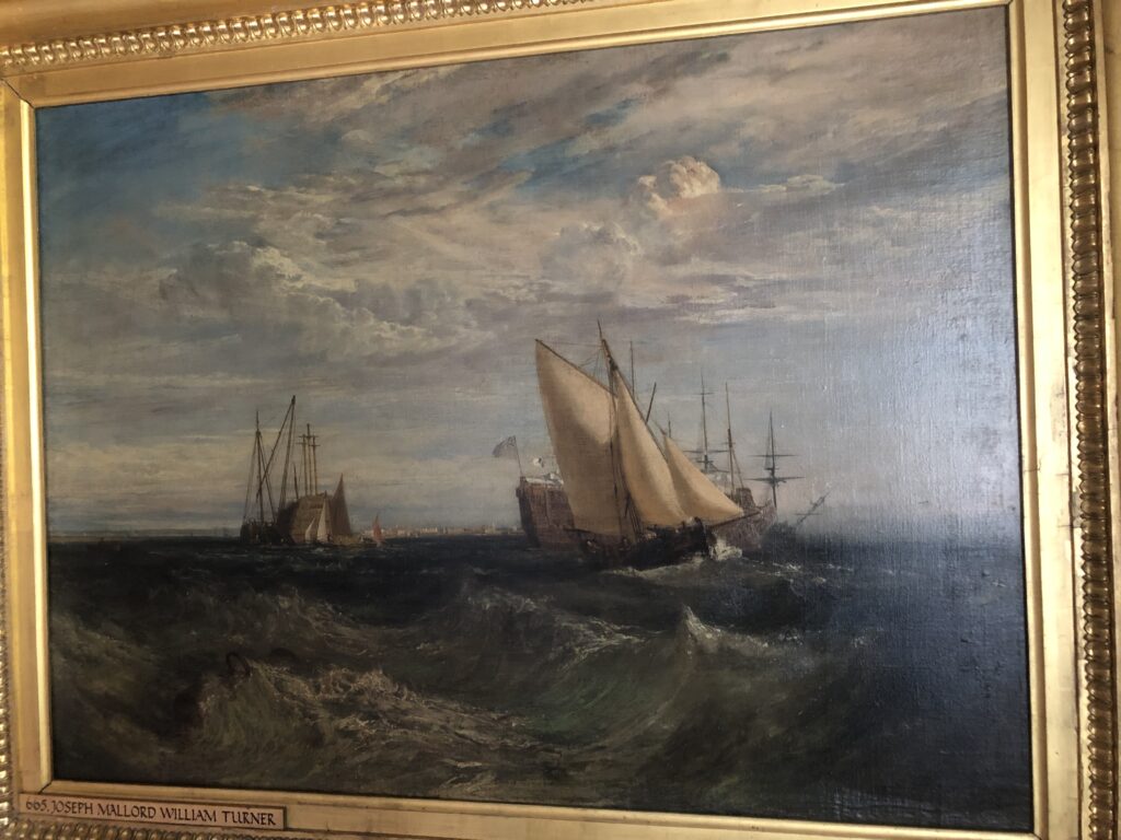
I did the usual run over with the eyes, stood back and gazed for a little while soaking in the scene. Anyone who has departed from Sheerness Harbour in a bit of an easterly and sailed out into the run of the river as it flows – on the ebb – towards its confluence with the Thames, some three sea miles east, will recognise the turbulent scene with those short sharp choppy waters superbly depicted by Turner.
Before turning away and moving on … my turn was arrested by a buzz in my head about something that did not seem right.
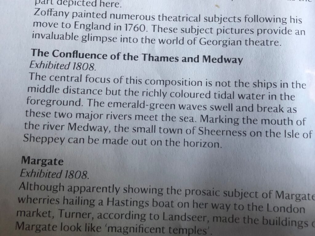
I found a copy of the house’s art works. I read it with not a little consternation. I thought, ‘No you’ve got that wrong…’ what the art historian or whoever had written up on the work.
So, back to the picture.
The first thing I spotted was the sand bank on the left of the painting with vessels in ‘the river’ beyond in the distance. Now, if the artist was looking at Sheerness, then what was the sand bank to the east of the Medway’s entrance?
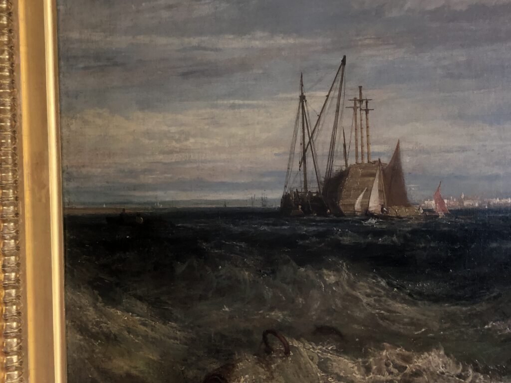
Secondly, there is a run of high ground going from right to left, built up on far right past the stern of war ship and ‘green’ all the way to the left. There is no high ground ‘behind’ Sheerness.
My last comment leads me to my third point. There weren’t and still aren’t the range of buildings clearly seen in the distance, elevated above the water horizon at Sheerness. There are over at Southend and Nelson, when Admiral of the Nore, had his mistress ensconced in one to the west of the high street…
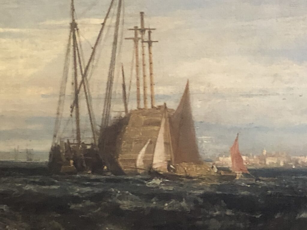
I spoke to the room’s warden and explained what I could see and how it is in reality, pointing out that I have lived and sailed in the area all my life.
I was assured that he would raise the matter with the duty house curator later…
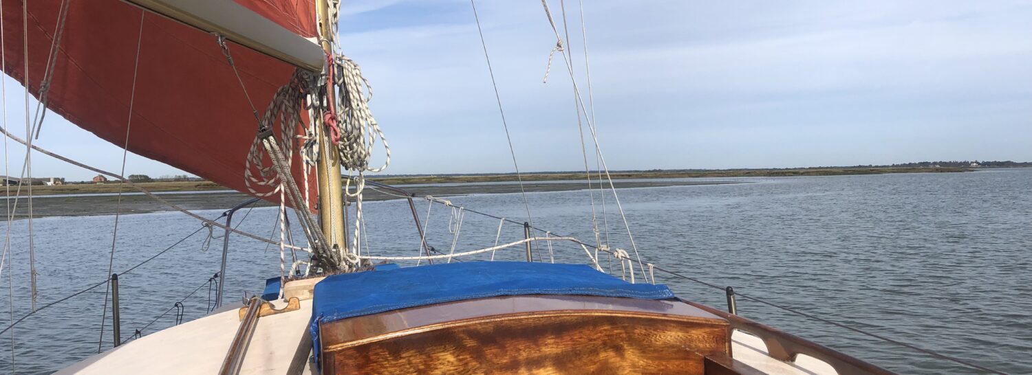
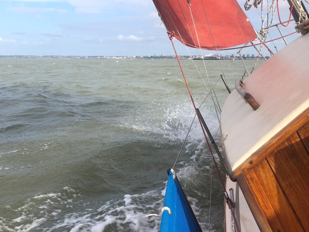
Walking on and after entering another room in the ol’ Dukes palatial house, I remembered that I had posted some pictures on Facebook looking towards the Essex shore when sailing home this autumn.
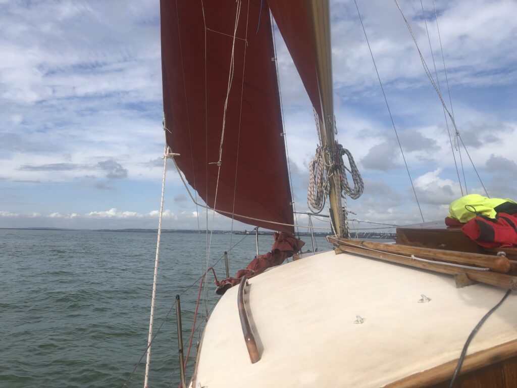
I backtracked and collared the room’s volunteer curator.
We ran through the pictures standing in front of the painting. If he wasn’t convinced in anyway before the proof in print certainly made him more so!
And then there is the good old map of course.
Now, I have bits and pieces of various maps and old charts of the Thames estuary gathered over the years and some years ago I was sent some bits of what is know as the ‘Dickens Map’ from the early to mid 1800s.
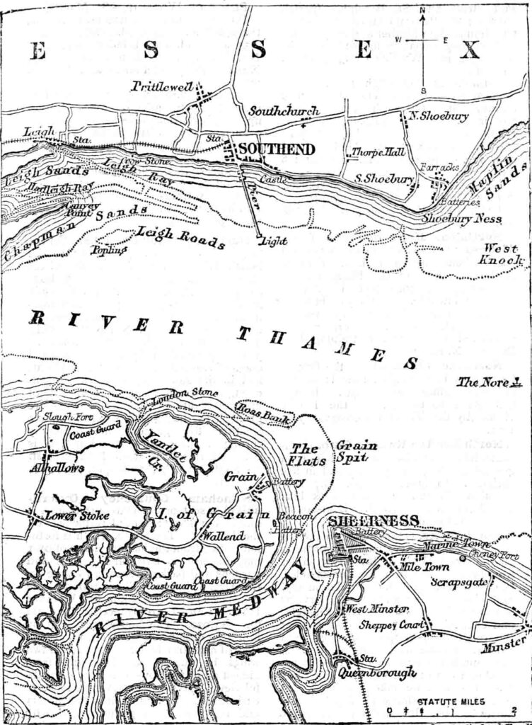
The pier at Southend is shown as originally built in 1829, just 20 years after Turner’s painting. One only has to look at it briefly to see that in a line from Sheerness or even Mile Town across to Essex shore where Southend sits on the hill above the pier, there is the rather obvious area marked ‘The Flats’ of Grain Spit!
There are NO sand banks out to the east which are uncovered as the tide recedes. It is my view that the artist must have been on Sheerness beach to the east of Garrison Point in the area of Mile Town.
I rest my case…
Today, Turner could have painted an atmospheric of the gaunt masts of the Richard Montgomery rising above the swirling wreck wracked waters above the hulk just beneath the surface….
