Some time ago, sailing into Maldon, I noticed that sediment had been pumped onto the northern sea walled shore of Northey Island – this appeared to be on the inside of the wall. The wall here was more a protection wall. for the tide was free to rise on its inner side where a stretch of saltings had been established after flooding around one-hundred years ago. Two old sailing barges sat within this area – one of which could be seen from the river. The silt for this project had been obtained from around the Hythe up at Maldon.
Then, during the autumn of 2025, I noticed some activity around the eastern facing shore of the island’s saltings. A crane work barge owned by a Maldon boatyard was at work in one of the big gaps created gradually over the years at a sea wall break. The breaks had widened appreciably over past two decades as the old sea walls had been virtually obliterated by tide and wave action.
At the time two other old lighters were seen anchored in the gap. The yard owner had just come down from Maldon in the day-tripper vessel they run during the summer months, briefly going alongside the crane barge. What the heck was going on, I’d wondered!
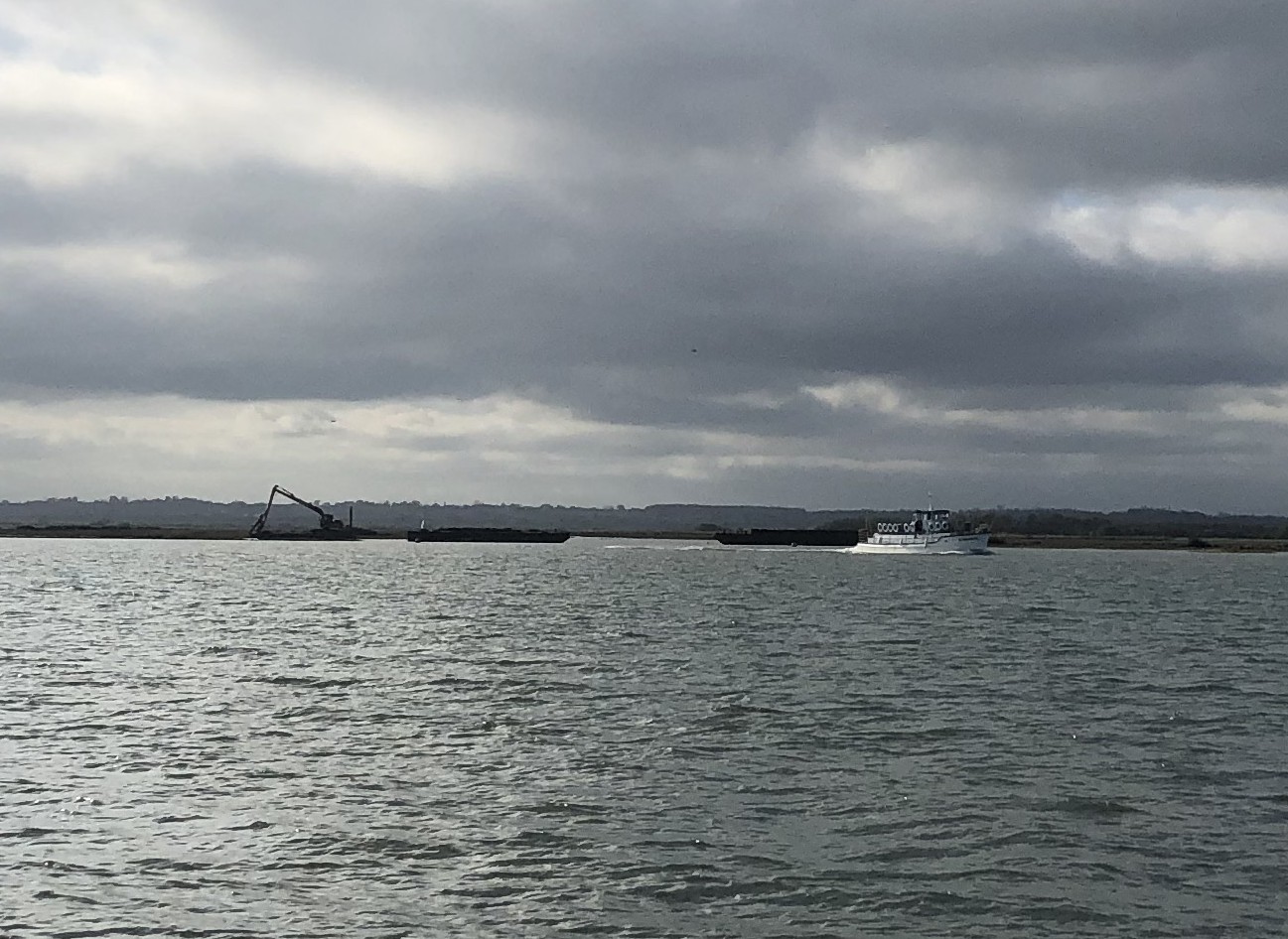
The works going on on Eastern side of Northey Island with day trip boat on way back to Maldon.
Any way, just a couple of weeks ago I picked up a news item on BBC Radio 4 Breakfast programme about ‘Saving an Essex Island…’ It was also on the evening television news.
I carried out a search and eventually found the information below on the National Trust web site for Northey Island. The National Trust (NT) are the island’s custodians.
Northey Island coastal adaptation project | National Trust
I knew about an area of managed realignment on the island carried out some years back (1991), but now something very different was going on.
The long-time flooded areas of the island that had become a huge area of saltings has been gradually wasting away over the years due to tidal forces, wave action and a rising sea level. It is a situation that has affected the whole coastal edges of the Thames estuary (and elsewhere, for a jolly long time.
The eastern side of the island had until fairly recent times most of its old sea wall structure along the marsh edge, however, it has virtually all disappeared in a short space of time allowing greater rapidity of erosion.
Following on from the initial work the NT are going to create higher level islands within the saltmarsh, quote:
‘These include restoring and protecting saltmarsh on the Western Shore and causeway saltmarsh and creating a nesting bird island on the eastern side of Northey. This will creating a remote nesting habitat but also take energy out of the tides rushing into saltmarsh of Northey, protecting it from further erosion.’
The piece says that three of these are to be created and part and parcel of the plans are to slow the tidal flows within the older flooded parts to allow a modicum of natural height regeneration.
The NT January 2026 news item shows three old steel lighters (described by BBC News as Thames barges…) placed across one of the larger gaps into the island. There is a picture within the item.
It is stated that these barges are to be formed into one of the ‘bird islands’ – presumably silt id to be added. However, what struck me was the scouring which is clearly evident around the ends of the row of lighters. To the northern end there is a huge water filled plume filling the scour.
It is going to take a lot of material to fill the gaps back to sound marsh (if such a thing exists) to stop the scouring. Looks as if further lighters are needed running into the saltings…
See: Press release / Media | National Trust
I have read with interest and hope for the best, but it will be interesting to see how ‘the sea’ affects the deposits of soft silt along this edge.
Being local, I can watch the ongoing project from close quarters.

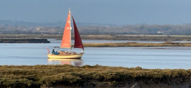
The Sea Change Trust’s Blue Mermaid tacking up past the eastern shore of Northey Island.